


Discover the story of your place
Every building, street and site has a story.
Would you like to know more about the history of your building, workplace, site or street?
We carry out place-based historical research for businesses, organisations, developers, cultural venues, homeowners and anyone curious about the story of a particular location.
Using historic maps, archive photographs, directories, planning records, newspapers and local research, we can uncover how a place has changed over time, from previous buildings and former uses to lost streets, past occupiers, local industries and wider neighbourhood stories.
Some buildings have a rich and well-documented history. Others reveal their story through the surrounding block, nearby streets, former land uses or the wider context of the area. Either way, the aim is to piece together a clear, engaging story of place.
Research can be used for private interest, staff and visitor information, websites, newsletters, social media, exhibitions, framed displays, heritage panels, development hoardings or public engagement.
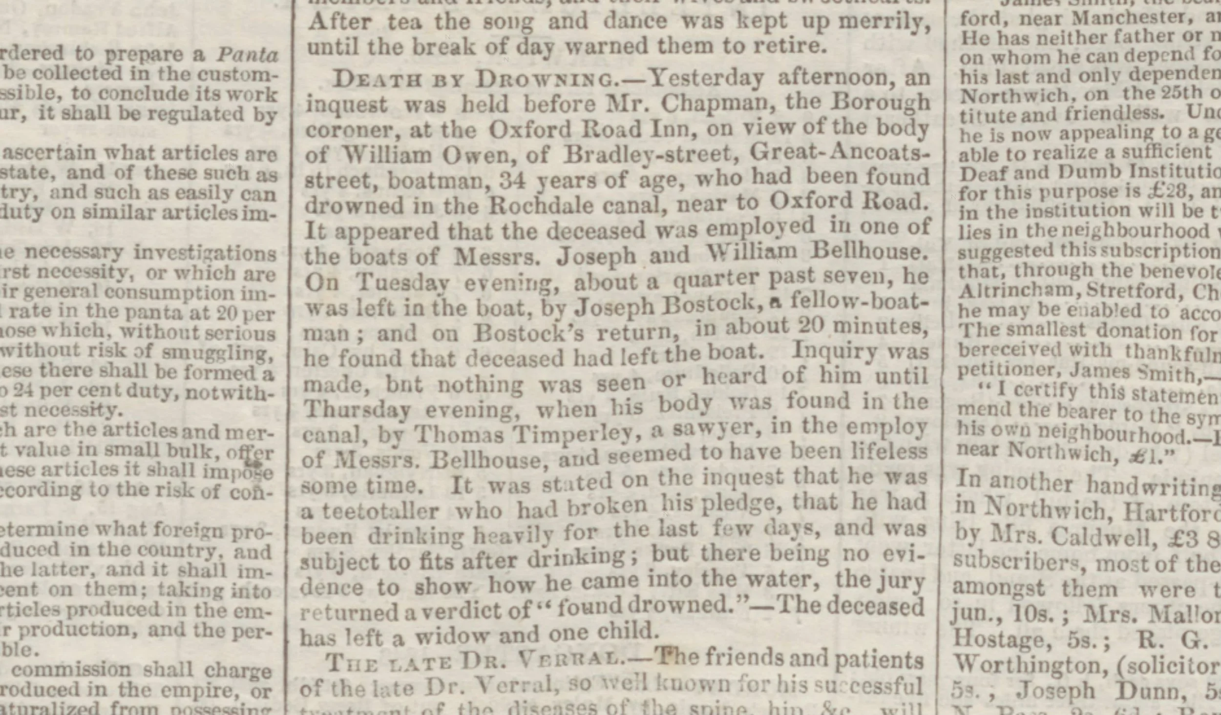
Dedicated research
Building history
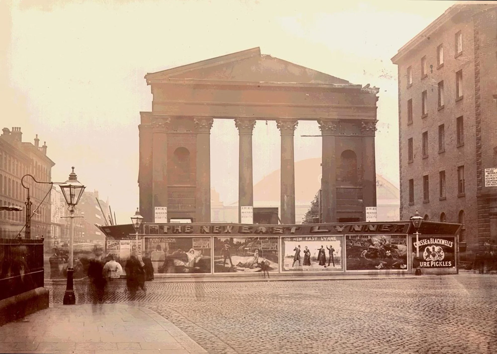
A focused history of a specific building or premises, including former uses, occupiers, changes over time and archive material where available.
Site history
Research into what existed before the current building, including older structures, land uses, street layouts and historic change.
Street or neighbourhood history
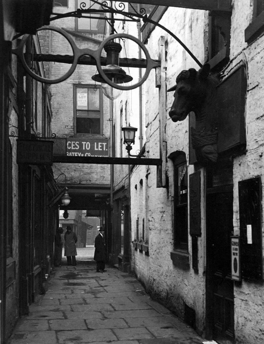
A wider look at the immediate area around a property, useful when the building itself has limited recorded history.
Business premises research
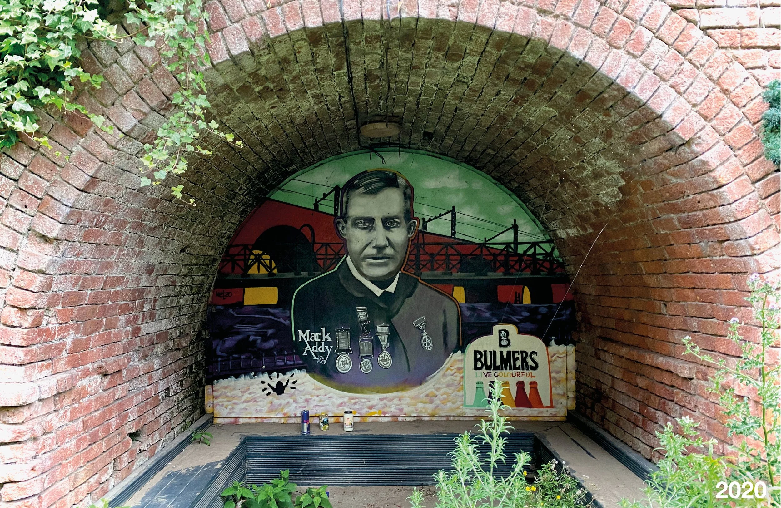
A place-based story for cafés, restaurants, shops, hotels, venues, offices, studios and organisations wanting to share the history of where they are.
Home history
Research for homeowners interested in the story of their house, previous residents, old maps or the development of the local area.
Display and content writing
Turning the research into text for websites, social media, newsletters, framed displays, exhibitions, heritage panels or development hoardings.
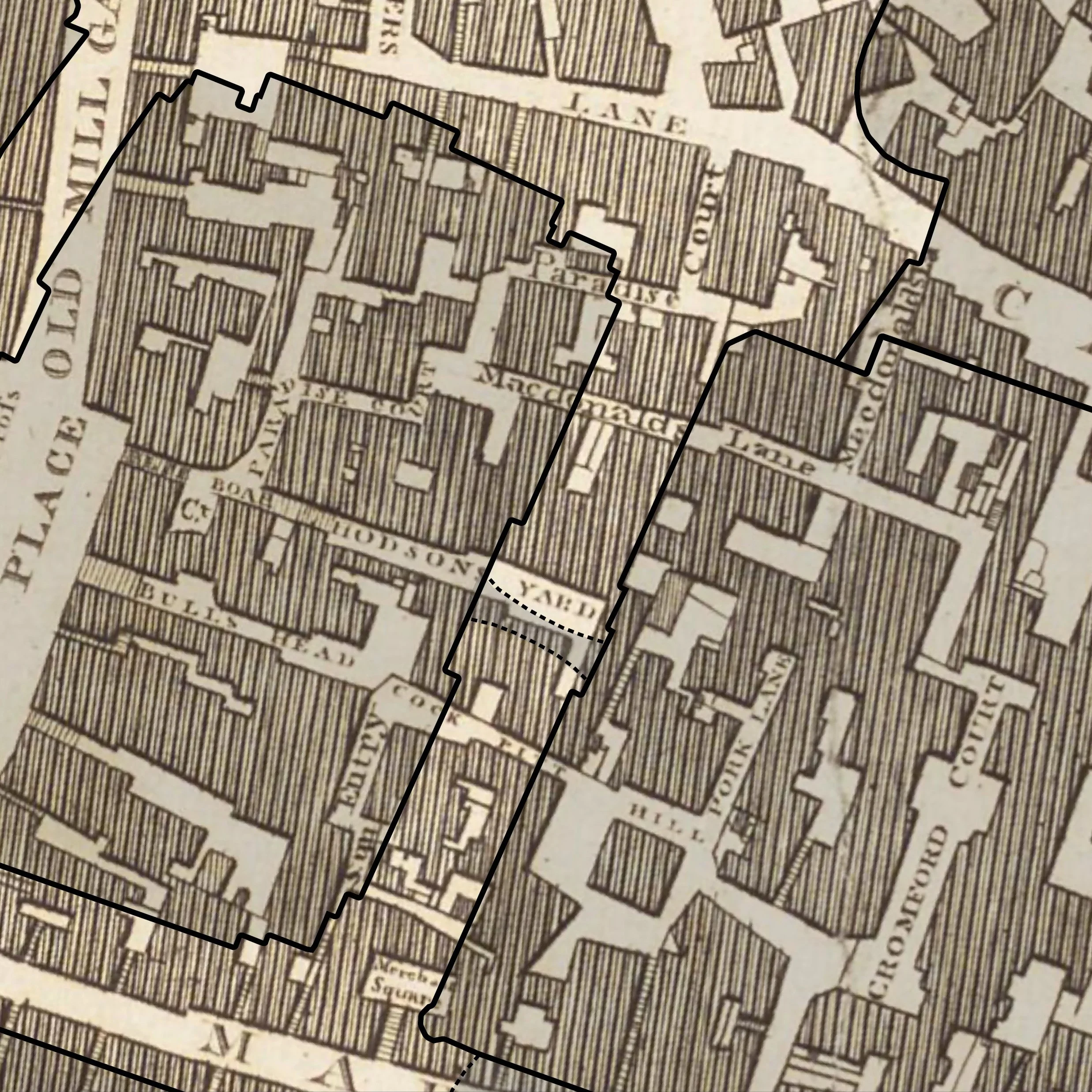
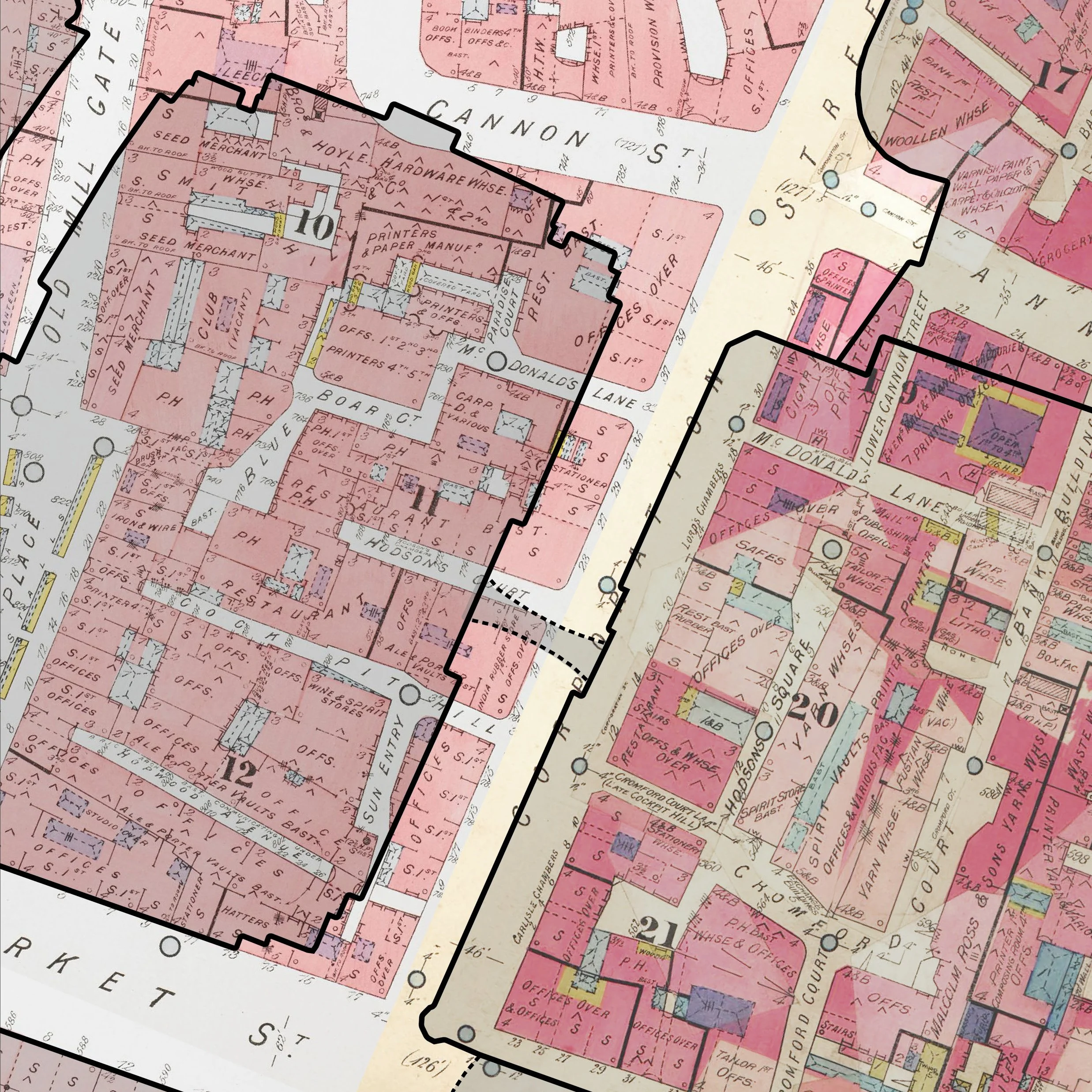
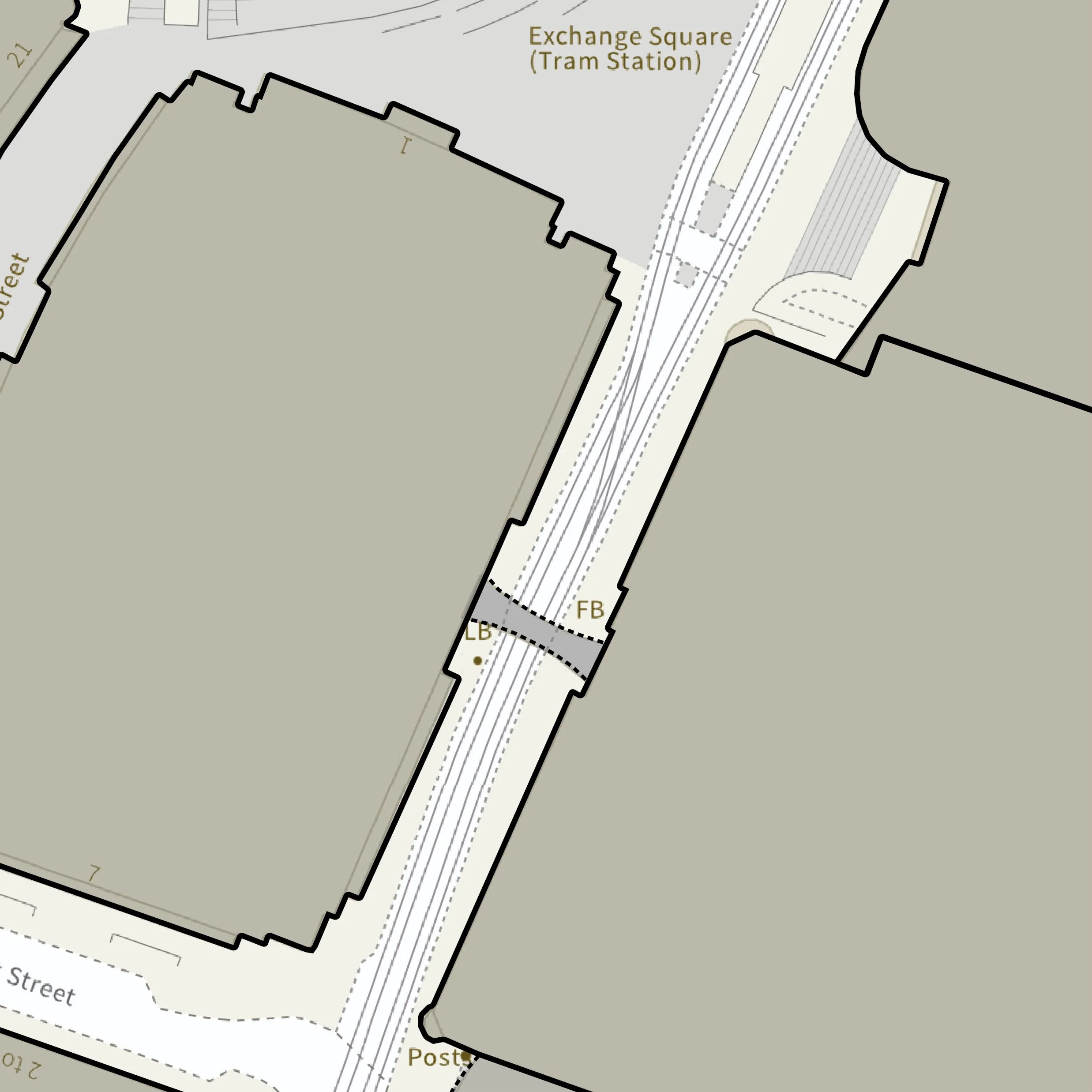
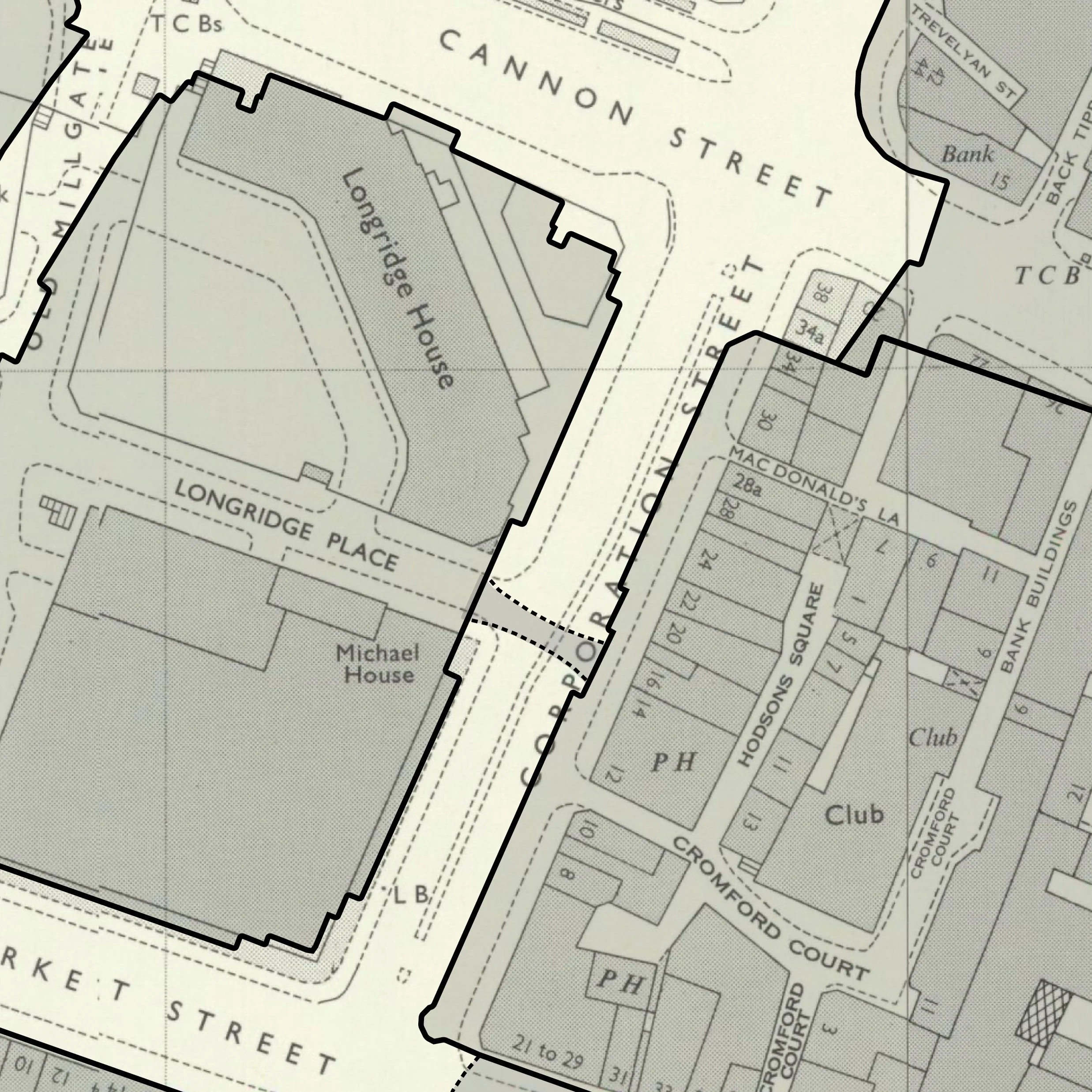
Everyone loves maps. They let us see a place differently.
As part of the research, we use a wide range of historic maps of Manchester, from the mid-17th century through to the present day. What makes them especially fascinating is the ability to follow one site, street or neighbourhood through time — watching buildings appear and disappear, streets change shape, industries move in and out, and whole areas take on new identities.
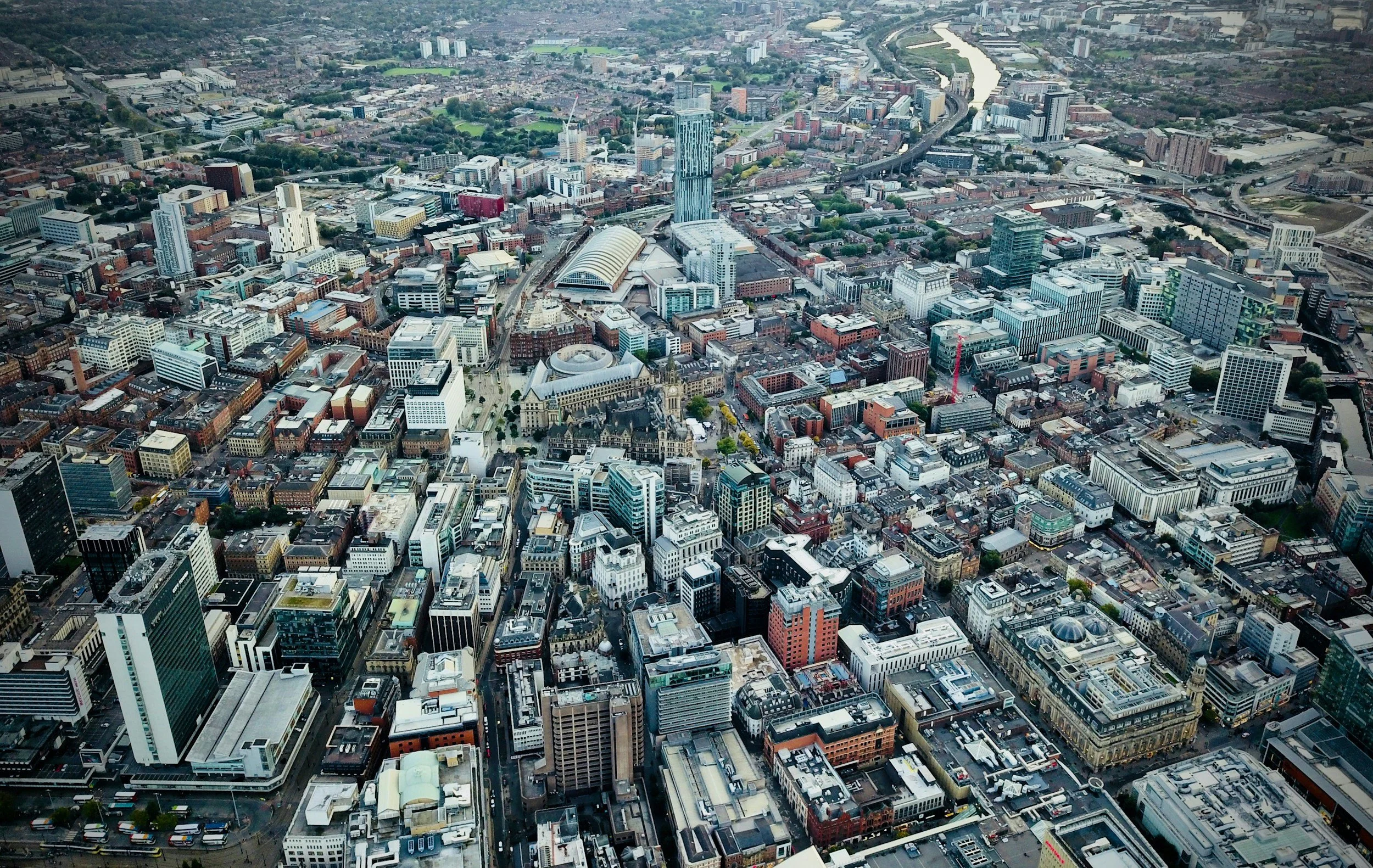
By comparing historic maps with today’s buildings and streets, we can place the past back into its modern context, helping people understand not just what used to be there, but how it relates to the place they know now.
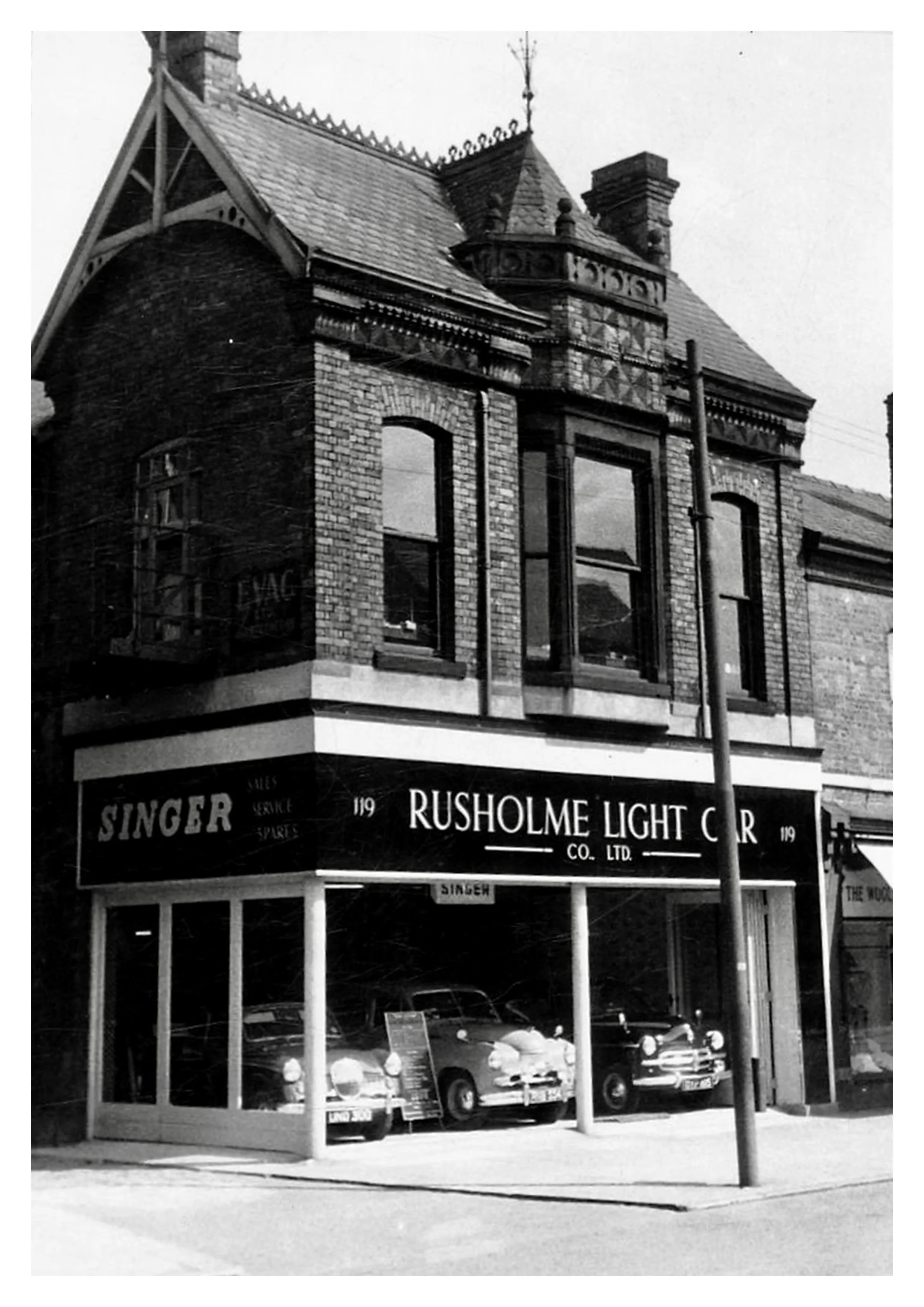
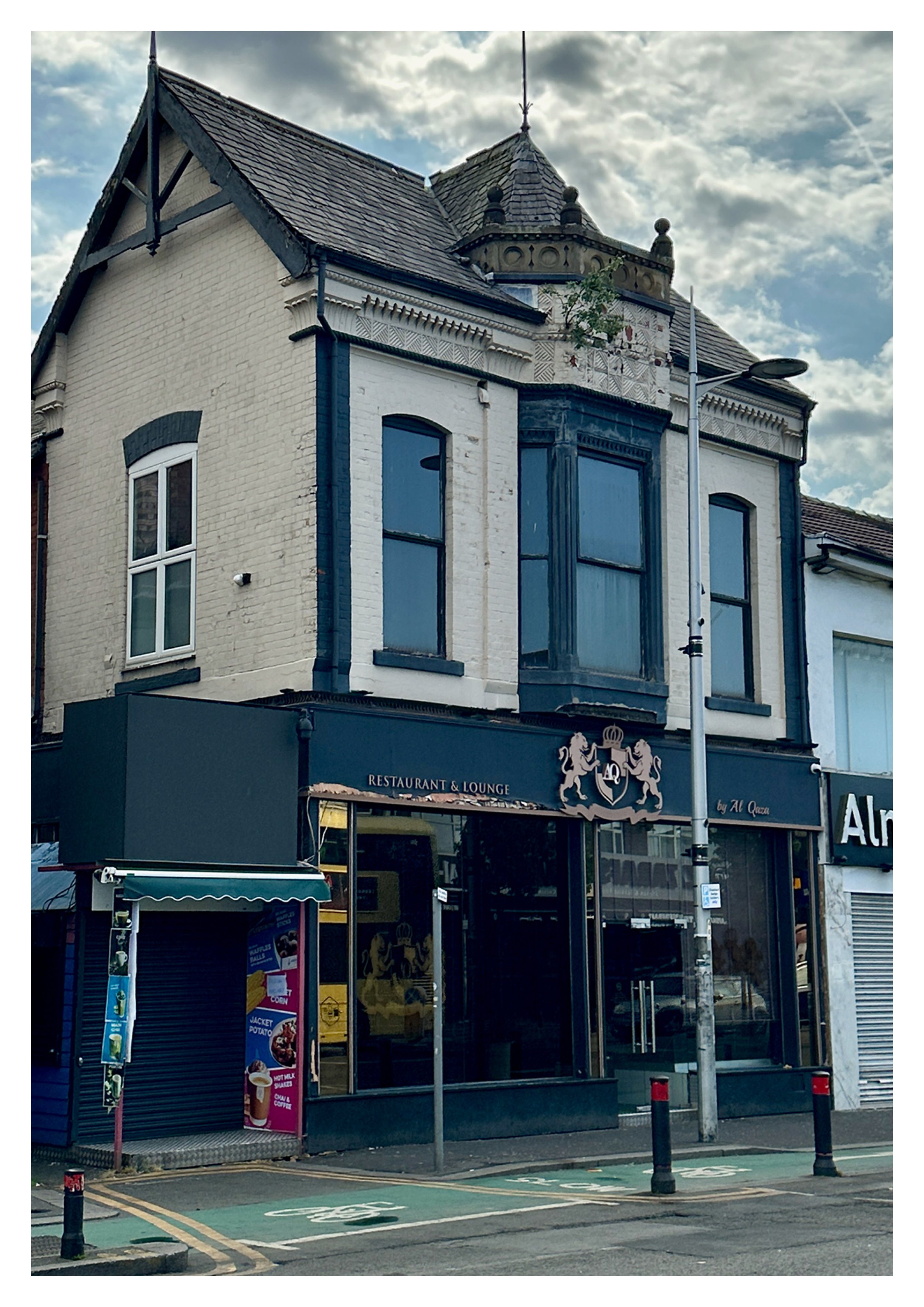
Then & Now photo comparisons
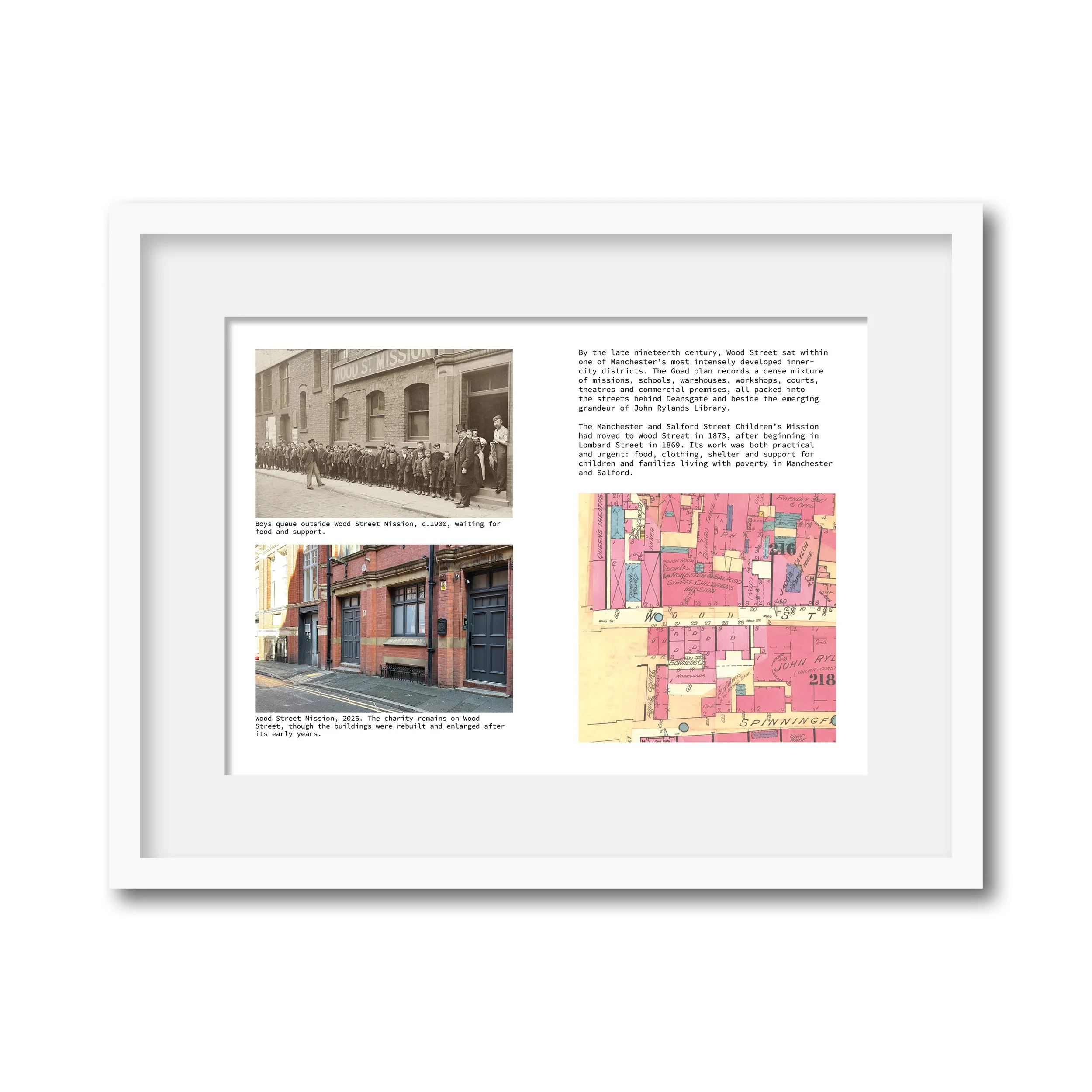
As an optional add-on, we can create a “then and now” comparison using a historic image of your building, street or nearby location alongside a present-day photograph taken from as close to the original viewpoint as possible. This can be presented as a side-by-side image, a faded overlay, or both, making it easier to see how the place has changed over time.
Creating these comparisons involves more than simply dropping two images together. We identify a suitable historic photograph, visit the location, carefully line up a new image, and then manually adjust the two views so they correspond as closely as possible. Historic cameras, lenses, street layouts and building changes mean a perfect match is not always possible, but the aim is to create a clear, engaging and accurate visual comparison that brings the research to life.
Static then-and-now comparisons can be included within your PDF report, printed booklet, website content or social media material. We can also discuss interactive digital versions, such as online sliders or fade-through comparisons, where these would be useful for your website or marketing.
Presentation and display options
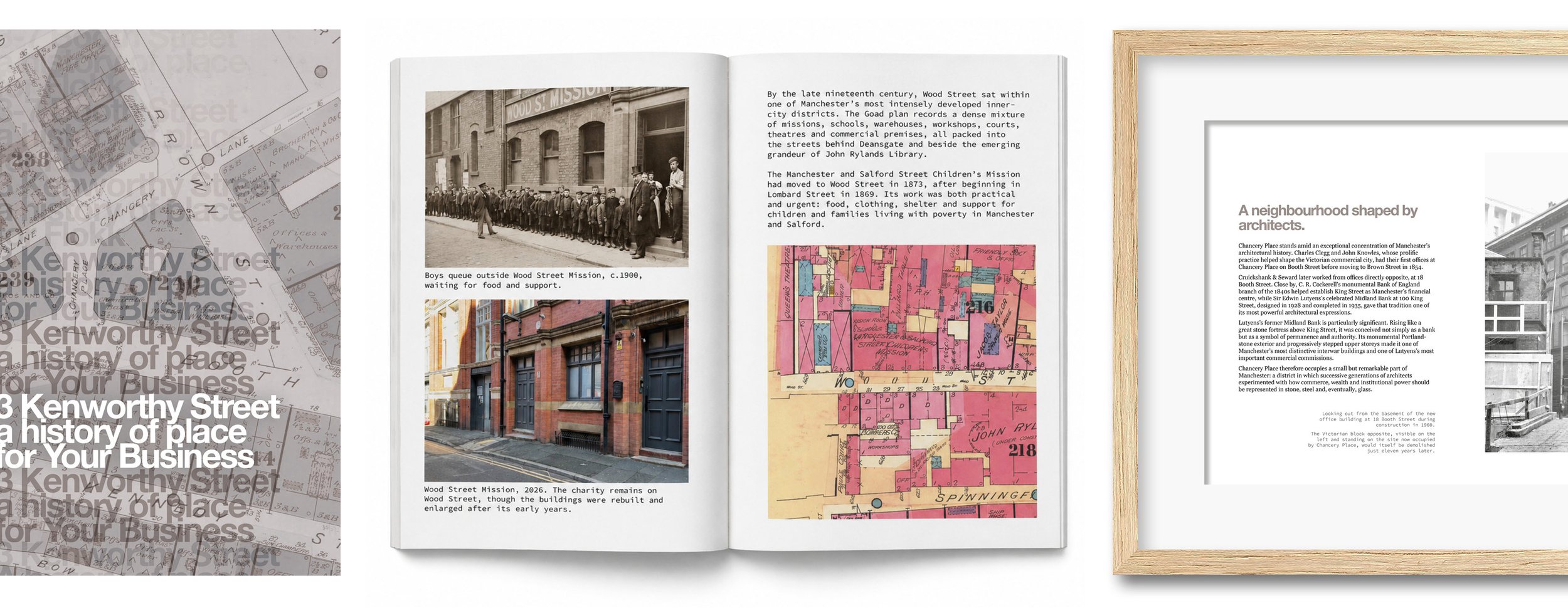
Research is most valuable when it can be seen, shared and enjoyed. As well as producing a written PDF, we can help present the story of your place in a range of formats for visitors, customers, residents, staff or guests.
This might include printed booklets for coffee tables, receptions or customer areas, framed historic photographs, maps, then-and-now comparisons, or short display panels that bring the history of the building or site into the space itself.
The aim is to make the research useful, attractive and accessible - whether it is shared digitally, displayed on a wall, used online, or printed as something people can pick up, browse and remember.