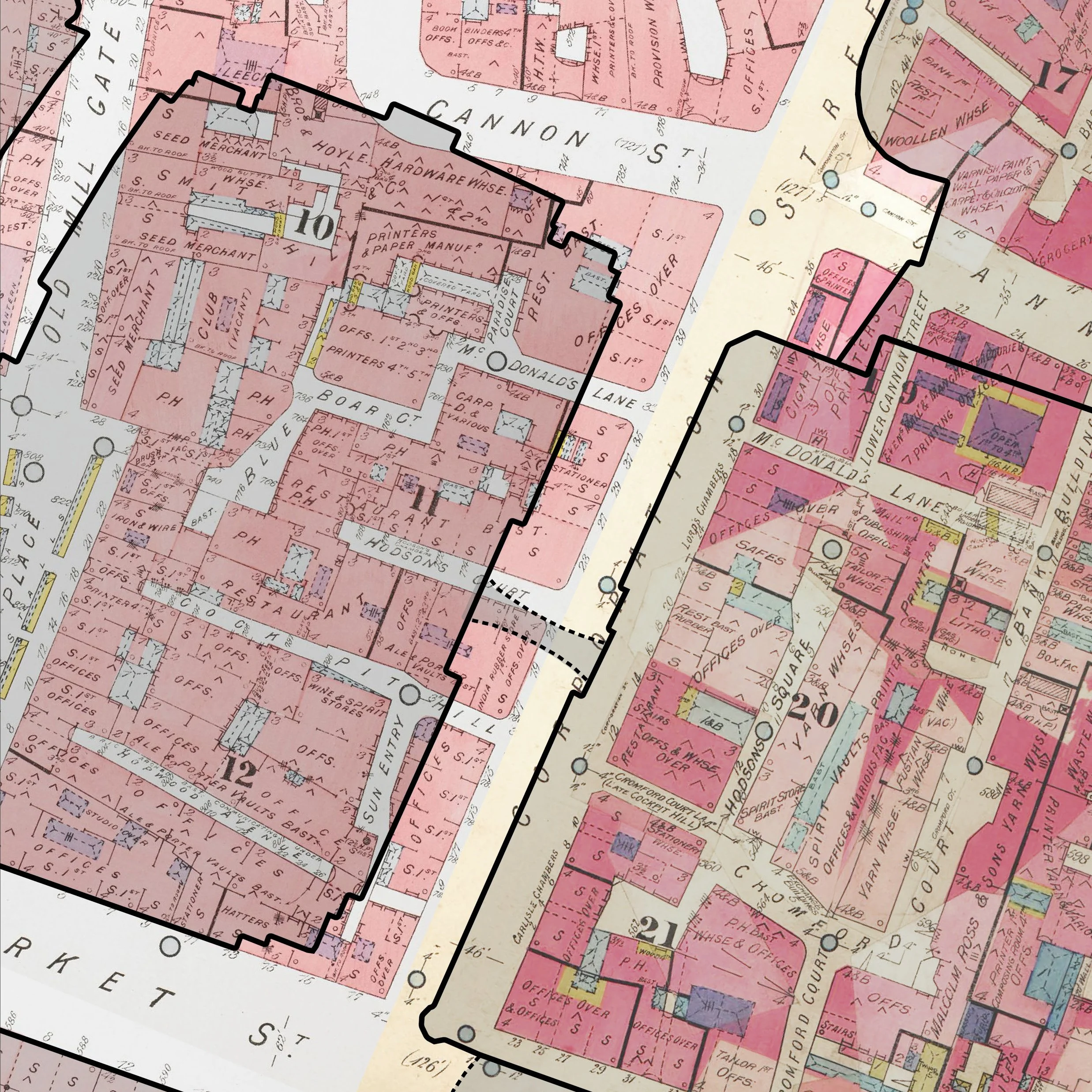
 Image 1 of 5
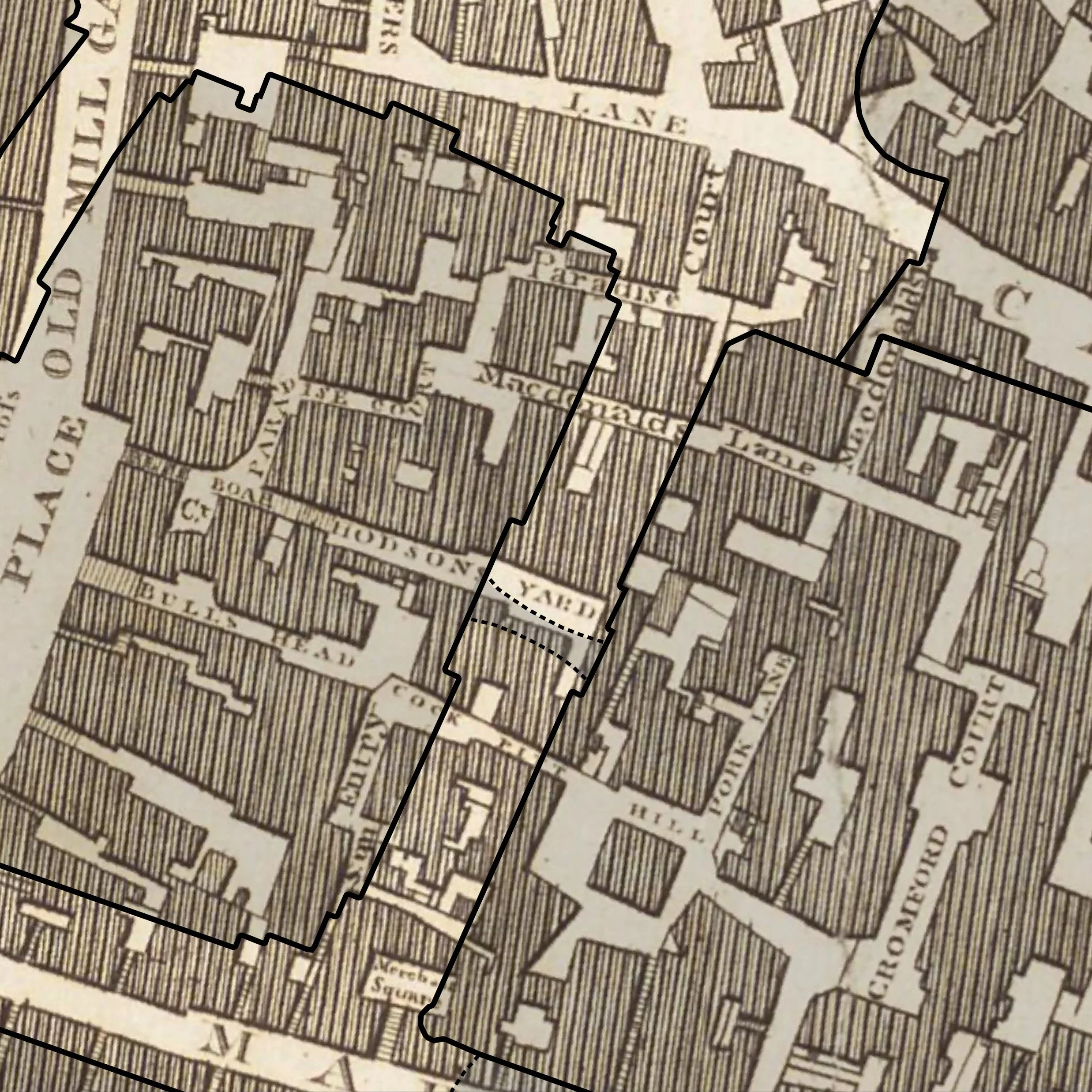 Image 2 of 5
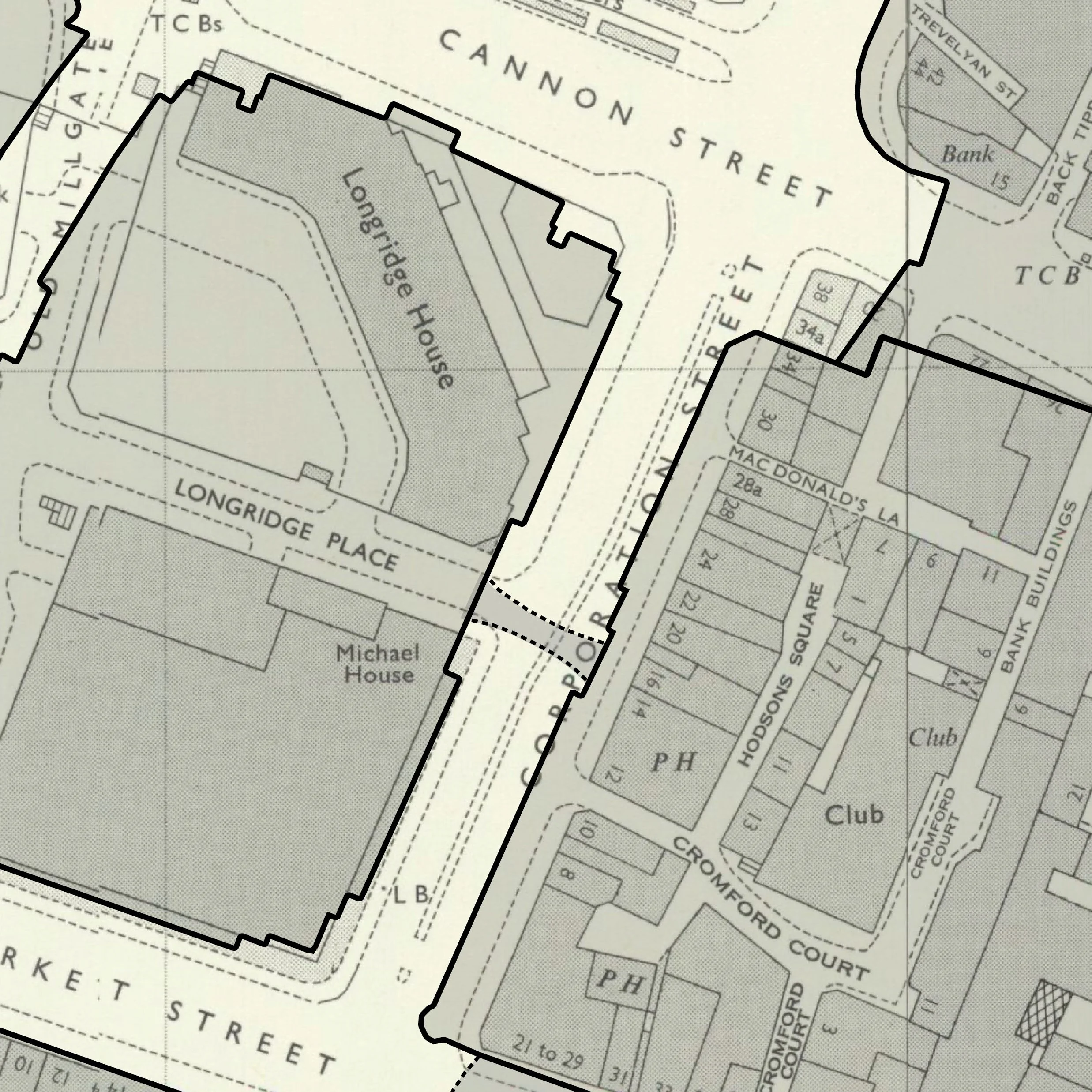 Image 3 of 5
 Image 4 of 5
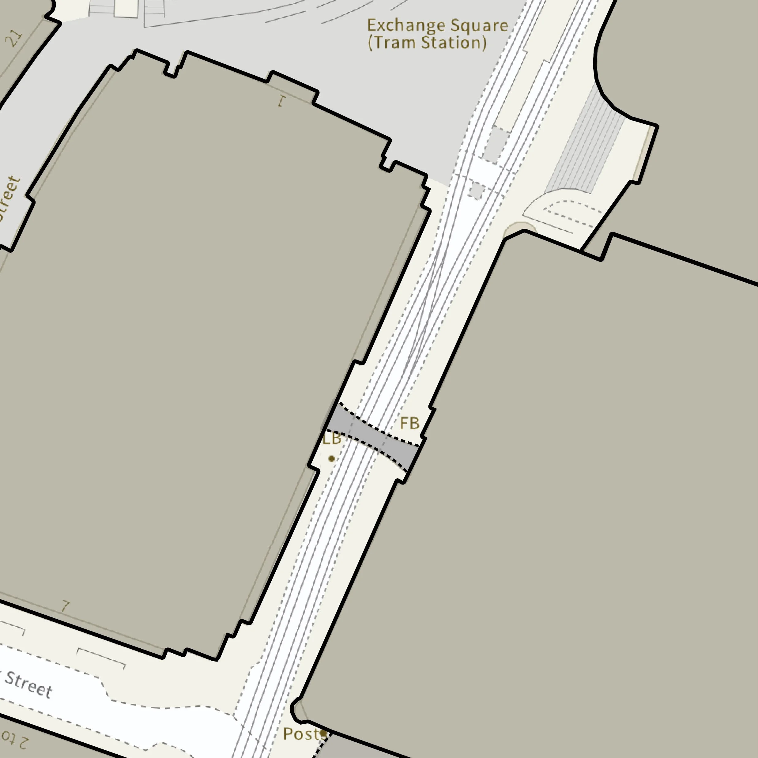 Image 5 of 5
A focused map-based study showing how your site, street or neighbourhood has changed over time.
Using historic maps from different periods, we can trace former buildings, lost streets, changing boundaries, previous land uses and the wider development of the surrounding area. These maps can be especially powerful when compared with today’s buildings and streets, helping people understand what used to be there and how the modern place has evolved.
We typically include three historic maps from different periods, chosen to best show how the site, street or surrounding area has changed over time. Additional maps may be included where they add useful context.
This can be added to a research pack or commissioned as a short standalone piece.